DrawsitePlan:
Your trusted partner for versatile site plans for pre-feasibility, permits, landscape design, and architectural planning.
Experience excellence with our professional site plan services. Trust our seasoned team to bring expertise to your project’s design and planning needs. Your vision, our expertise – a perfect partnership for success.
For non-certified Site Plans or Plot Plans tailored to your property, rest assured, you've found the right place.
We specialize in creating detailed site plans that meet your project needs forthwith. Whether you're in the crucial planning phase, evaluating the feasibility of a project, or ready to submit your permit application, we've got you covered.

About Us
Your Trusted Partner for Expert Site Planning and Project Management
Experience excellence with our professional site plan services. Trust our seasoned team to bring expertise to your project’s design and planning needs. Your vision, our expertise – a perfect partnership for success.
For non-certified Site Plans or Plot Plans tailored to your property, rest assured, you’ve found the right place.
High Accuracy
Our site plans ensure 90-95% accuracy with a maximum variance of up to 2 feet.
Next Business Day Turnaround
Receive comprehensive site plans on the next business day, ensuring your project proceeds without delays.
Customizable Solutions
We tailor our site plans to the specific needs of residential and commercial projects.
Our Services
Site Plan Services
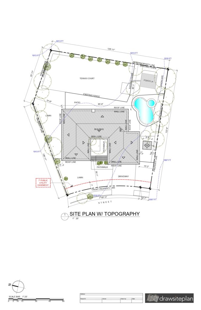
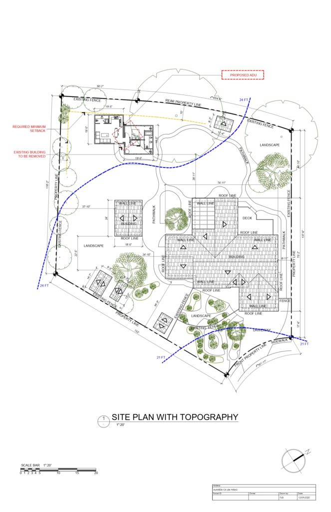
We offer remotely surveyed site plans using advanced aerial imaging. Ideal for general contractors, ADU contractors, architects, builders, landscapers, and homeowners, our accurate and customizable plans streamline your preliminary design process and include comprehensive site research.
Customer Reviews



About Siteplan
What's Included
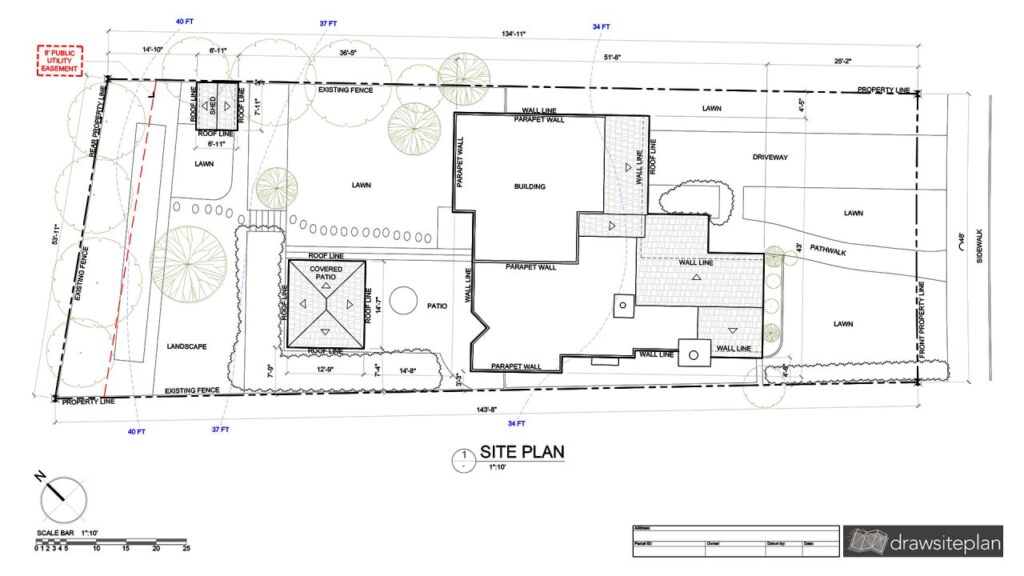
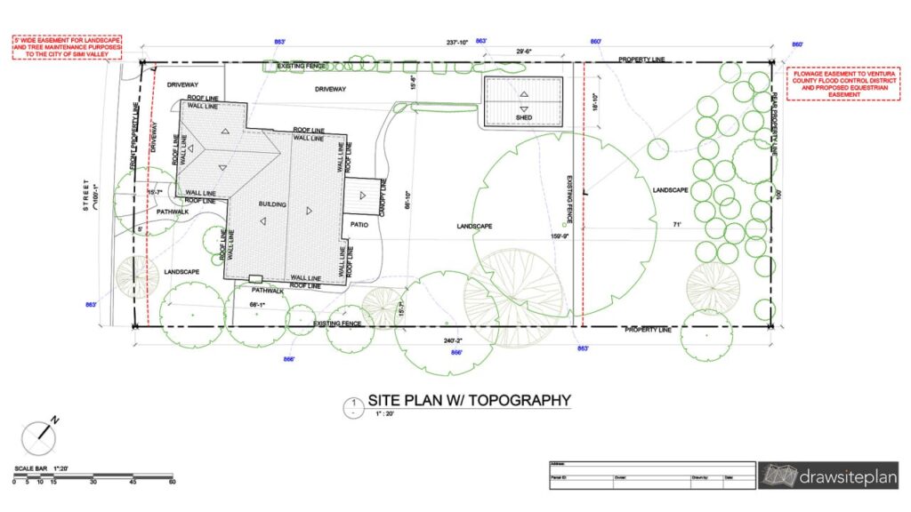
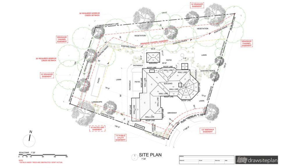
Our site plans include property boundaries, existing structures with dimensions, topography, landscaping, pathways, utilities, setbacks, easements, zoning details, and dimensions to property lines, ensuring comprehensive planning and design.
Technology Used
We utilize cutting-edge aerial imaging and mapping software to deliver precise and up-to-date site plans. Our technology is complemented by rigorous cross-checking with various data sources, ensuring exceptional accuracy and reliability in every plan.
Where You Can Use It
Our site plans are highly accurate and ideal for the feasibility stage and permit applications, providing valuable insights for initial project planning. Even though they are highly accurate, please note that they do not replace a legal survey.
